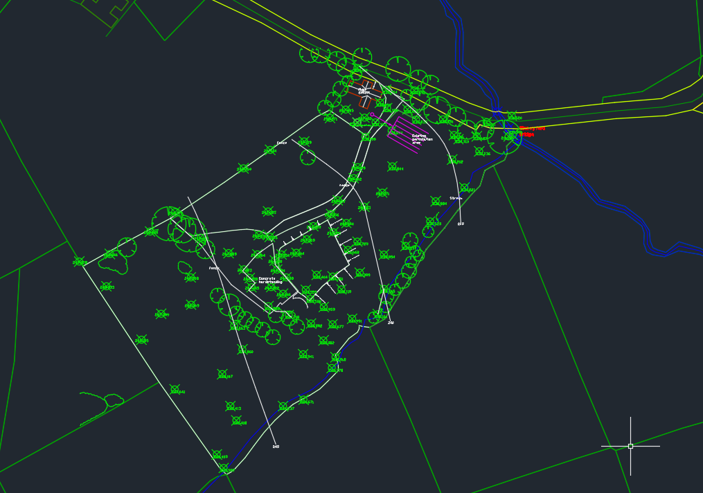
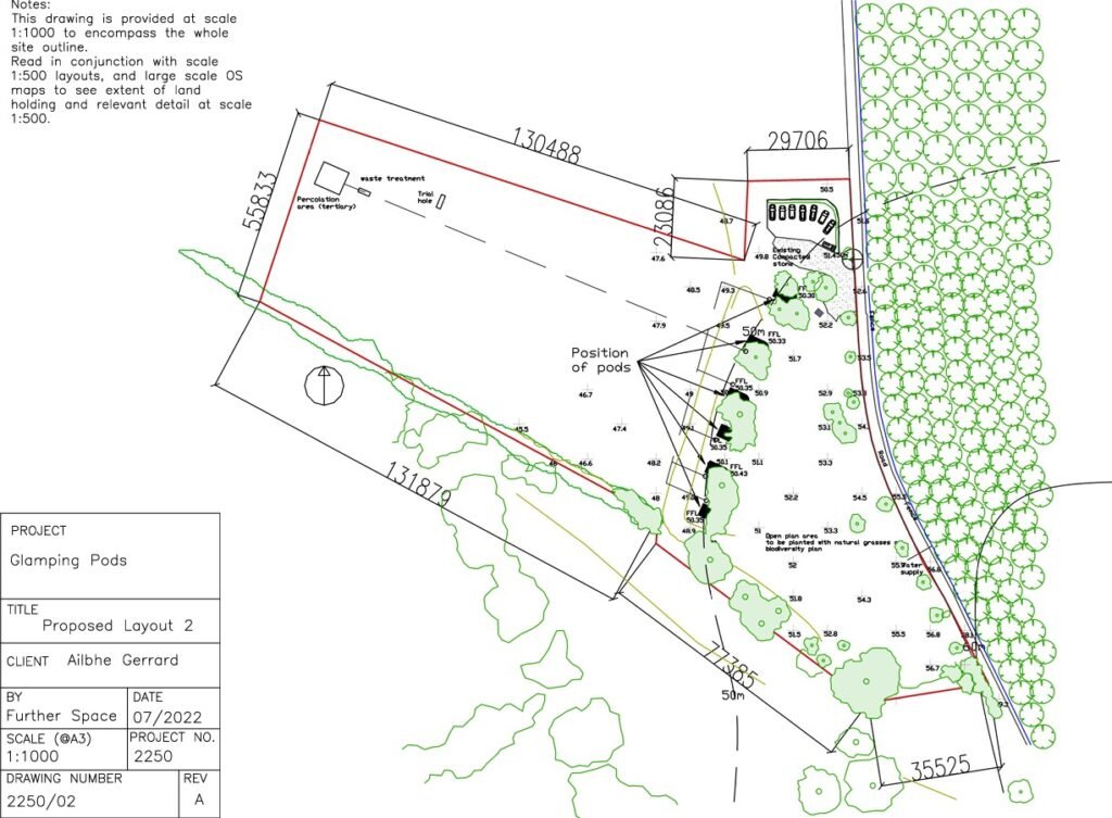
CAD file showing spot heights, features and site boundaries
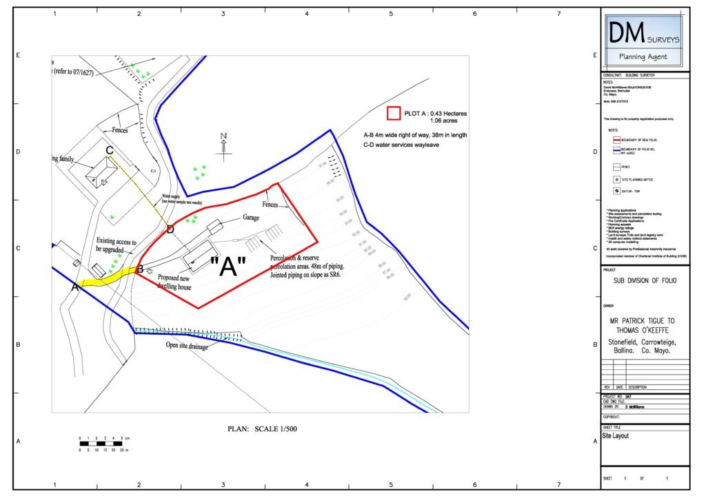
Scaled site layout drawing indicating development boundary, right of way, wayleave, and other features
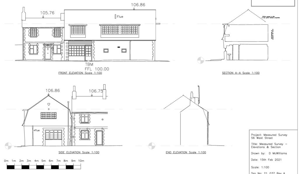
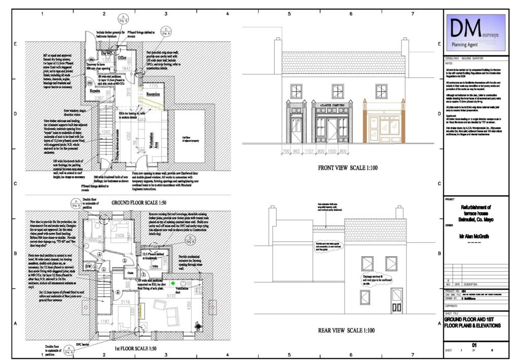
2) Measured Building Surveys
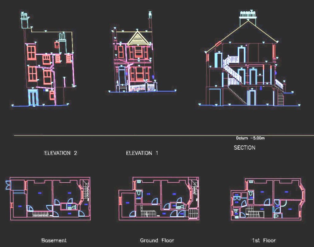
This a CAD file that was prepared from laser scan data that measures to sub millimeter accuracy. The building actually leans and the final delivery in dwg and pdf format was based on the real life geometry that might be missed with simpler survey techniques.
This a PDF delivered to a client of a period property that was forwarded to a conservation Architect for a refurbishment project.
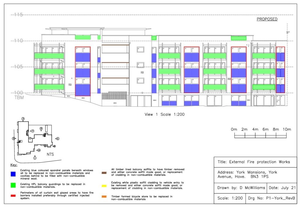
Following the tragic fire at Grenfell Tower, measured surveys of existing cladding systems were required to quantify the areas of replacement work to high rise buildings throughout the UK. All of the measurements required to precisely draw the different sections of this building were obtained from ground level using a laser scanner with 300m range. The measurements and drawings are precise, and were used in a tender package to upgrade the cladding.
3) Folio Plans & Boundary Mapping
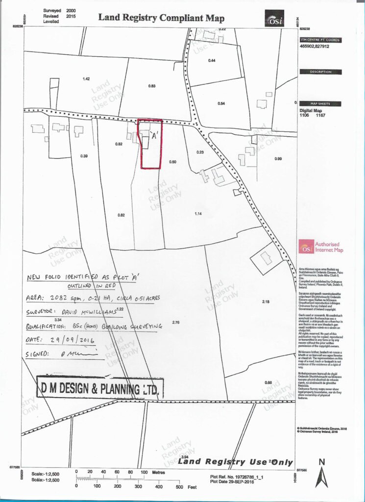
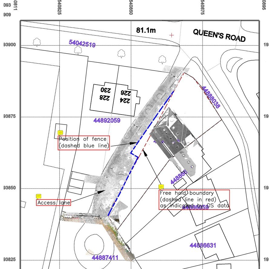
A site survey was conducted and the results compared to an OS land registry map. The blue line represents the newly placed fence position, and, the red line represents the land registry position. It was determined that the fence was misrepresenting the true boundary.
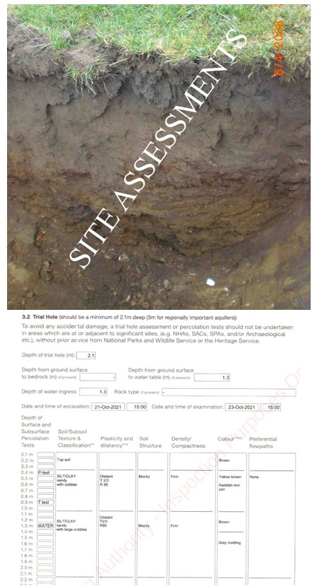
4) Site assesments for septic tanks
The soil profile is observed and percolation tests to record the ability of the soil to absord and to attenuate treated wastewater. This is inline with the EPA manual and required as part of planning applications where mains waste connections are unavailable.
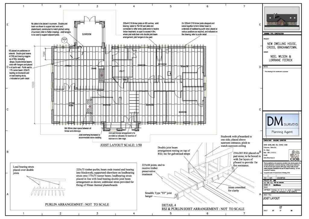
5) Building Construction Management System (Construction Drawing Pack)
Construction drawings are prepared to demonstrate compliance with Parts A-M of the Building Regulations. A specification, calculations, and a provisional BER rating are also included. These are the main supporting documents that are submitted as required by the Building Control Regulations with a commencement notice to the BCMS.
6) Planning applications for Modular Units/Glamping Pods
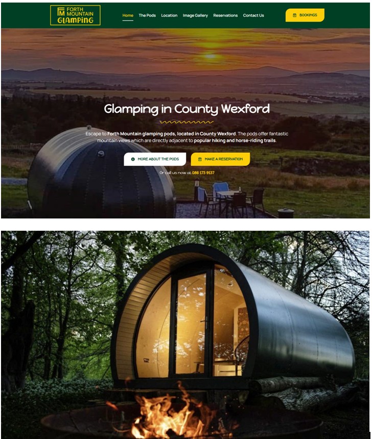
A complete planning service was offered to start up glamping pod companies across Ireland. The submissions included, a combination of the other services listed here such as Topo land surveys, site assessments for a communal waste treatment system, design work, and consultation with the planning office. A complete planning service is offered for single and multiple modular units (including bespoke designs) across Ireland.